

Free Offline Map App for Hiking & Outdoor Adventures
Overview
Ondago is a free-to-use navigation application developed by Mapgears, designed specifically for outdoor enthusiasts who rely on reliable offline maps. The software enables users to access electronic maps directly from their mobile devices, eliminating the need for paper maps during hiking, camping, or other off-grid activities. Unlike internet-dependent platforms such as Google Maps, Ondago functions entirely offline after initial map downloads, making it ideal for remote areas with limited or no connectivity. Its core purpose is to provide accurate GPS-based location tracking and route planning without requiring a constant data connection.
The app is particularly suited for hikers, backpackers, and adventure travelers seeking a dependable tool for navigating trails and exploring new regions. Real-world use cases include planning multi-day treks, marking waypoints, and accessing detailed geographic information such as elevation, terrain features, and points of interest. Interactive elements like photos, descriptions, and guides enhance the user experience by offering contextual insights into destinations. While the app supports itinerary creation and event schedule access, users must download maps in advance, which impacts storage usage over time. The developer did not provide additional system requirements.
Key Features & Capabilities
- Offline Map Access: Users can download maps for specific regions and use them without an internet connection, ensuring functionality in remote or low-signal areas.
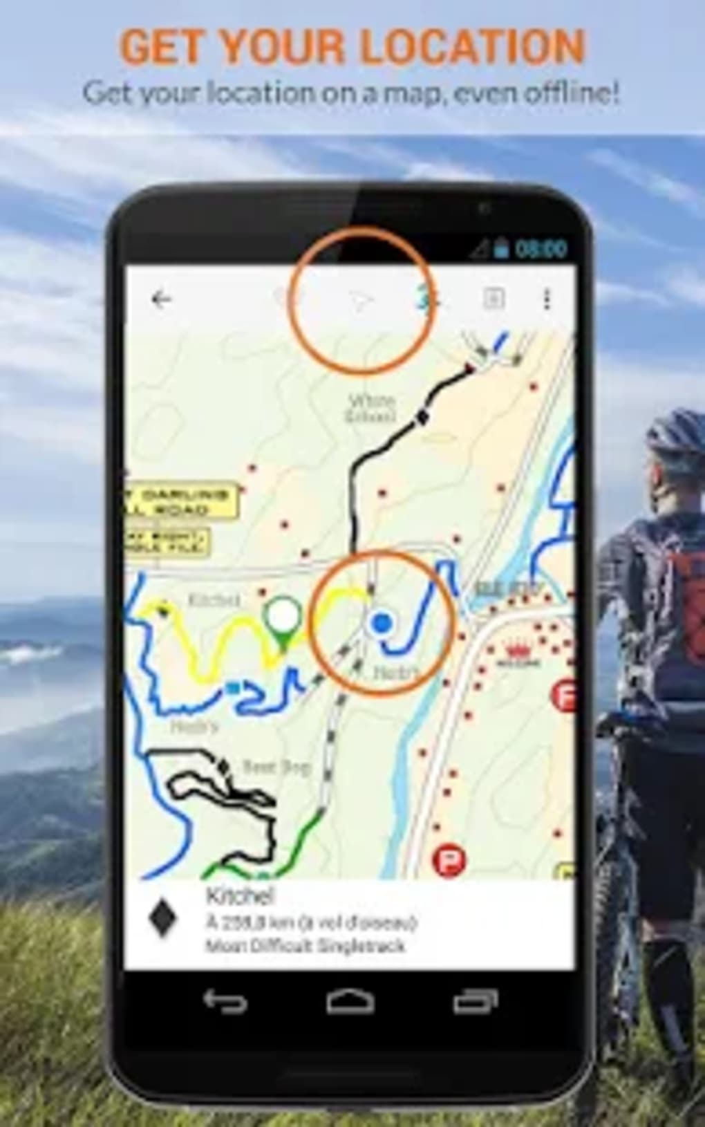
- GPS Location Tracking: The app leverages built-in GPS on mobile devices to determine the user’s real-time position with precision.
- Itinerary Planning: Allows users to create and save detailed travel plans, including routes, waypoints, and activity schedules.
- Interactive Points of Interest: Provides access to touristic information, photos, and descriptive content about locations and landmarks.
- Photo Sharing Integration: Users can capture images directly within the app and share them without switching to another platform.
- Map Updates and Expansions: New maps are regularly added to the catalog, expanding coverage across global hiking trails and outdoor destinations.
These features are especially beneficial during extended outdoor excursions where connectivity is unreliable. For instance, a hiker can pre-download a map of a mountain trail, plan their route with marked checkpoints, and refer to photos and descriptions of key landmarks while on the move. The ability to store and access event schedules adds value for organized outdoor events. However, the need to manually download maps before use may be inconvenient for spontaneous trips. The developer did not specify resource usage details.
User Interface, Workflow & Performance
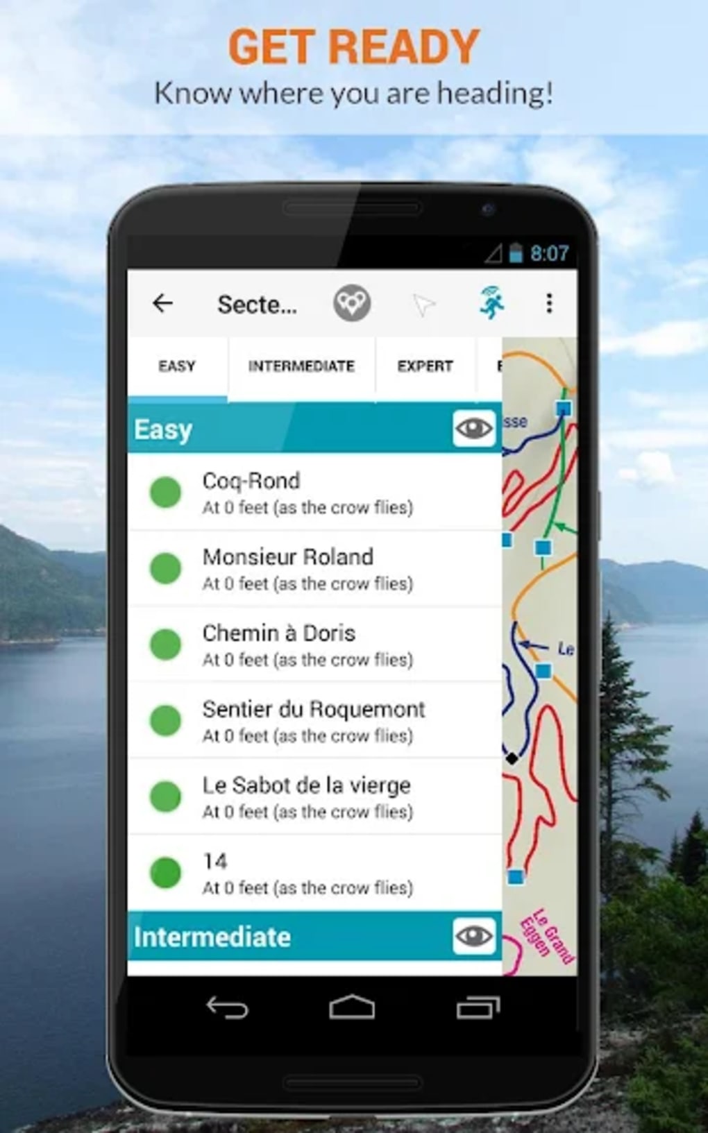
The user interface of Ondago appears to be designed with outdoor navigation in mind, emphasizing clarity and ease of access to essential functions. Navigation is likely structured around a central map view, with intuitive controls for zooming, panning, and selecting routes. The workflow supports seamless integration between map viewing, route planning, and information retrieval, enabling users to switch between tasks efficiently. Features such as itinerary creation and photo sharing are integrated into the main interface, reducing the need to exit the app.
Performance is expected to be stable during offline use, as the app does not rely on continuous data streams. However, the developer did not specify resource usage details. General software behavior patterns suggest moderate CPU and RAM usage during map rendering and GPS tracking.
Stability may vary depending on device capabilities and the size of downloaded map files. The live tracking feature has been reported to sometimes provide inaccurate positions, though this may depend on environmental factors or device-specific GPS performance. The app’s responsiveness during navigation remains consistent with typical mobile application behavior.
Compatibility & System Requirements
Ondago is available on multiple platforms, including Windows, Mac, Android, and iOS, making it accessible to a wide range of users. The current version is 2.0.3, with an installation size of 48.8 MB. This relatively compact footprint suggests efficient use of disk space, though the cumulative size of downloaded maps may significantly exceed this figure depending on the number of regions used. The developer did not provide additional system requirements, so users should ensure their devices meet general standards for running modern mobile and desktop applications. Compatibility information was partially provided.
Pros and Cons
Pros
- Free to use with no upfront cost
- Functions fully offline after map downloads
- Supports GPS-based real-time location tracking
- Offers rich map content with photos, guides, and descriptions
- Enables itinerary planning and event schedule access
- Regularly updated map catalog with new regions added
Cons
- Requires manual map downloads before use
- High storage consumption due to map files
- Live tracking has reported inaccuracies
- Contains frequent advertisements that may disrupt usability
- Performance may vary across devices without specified requirements
FAQ Section
Is Ondago available for both Android and iOS?
Yes, Ondago is compatible with both Android and iOS devices, allowing users to access the app across major mobile platforms.
Can I use Ondago without an internet connection?
Yes, once maps are downloaded, Ondago operates fully offline, making it suitable for use in remote areas with no cellular or Wi-Fi access.
Is the app safe to download and use?
Ondago is developed by Mapgears and available through official app stores. As with any free application, users should ensure they download it from trusted sources to maintain security.
Does Ondago require regular updates?
Yes, updates are released periodically to improve functionality, fix bugs, and add new map content. Users are encouraged to keep the app updated for optimal performance.
Can I use Ondago without an internet connection to plan my trip?
Yes, itinerary planning and map viewing can be done offline after initial downloads. However, accessing new map content or event schedules requires an internet connection during setup.
Final Thoughts
Ondago presents a compelling option for outdoor adventurers seeking a free, offline-capable navigation tool. Its ability to deliver detailed maps, GPS tracking, and interactive content without relying on live internet access is a significant advantage in remote environments. The app’s support for itinerary creation and integration of photos and guides enhances the overall experience for hikers and explorers. However, the user experience is hindered by frequent advertisements and inconsistent live tracking performance. While the concept is strong, implementation challenges reduce reliability in critical moments.
For users prioritizing cost, offline functionality, and access to global hiking trails, Ondago remains a viable choice. However, those requiring high accuracy and minimal interruptions should consider alternative solutions. The app’s free model comes with trade-offs that may not suit all users. Download Ondago now and explore the world on your own terms.